RS0ISS SSTV from the International Space Station
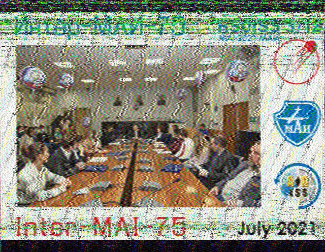
At the Friday meeting Matt 2E0FNT was trying to receive the ISS with an ipad using the lightning connector - it was news to me1 that there was any ISS activity, but it seems this was a short two-day period of activity as part of the MAI-75 programme. I don’t really know why it’s captioned July 2021, perhaps it was delayed a week or so.

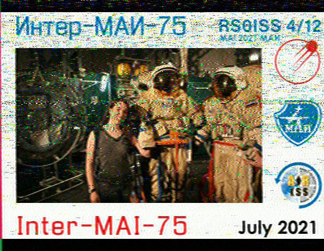
The last transmission of this event was almost directly overhead with an altitude of 89°, from previous experience this was time to use the horizontal dipole oriented crosswise to the satellite path, and I got a clear picture. There were quite a few images in the series, but this was the only one I received. You can find the others on the ARISS SSTV gallery at Spaceflight Software - this was Expedition 65
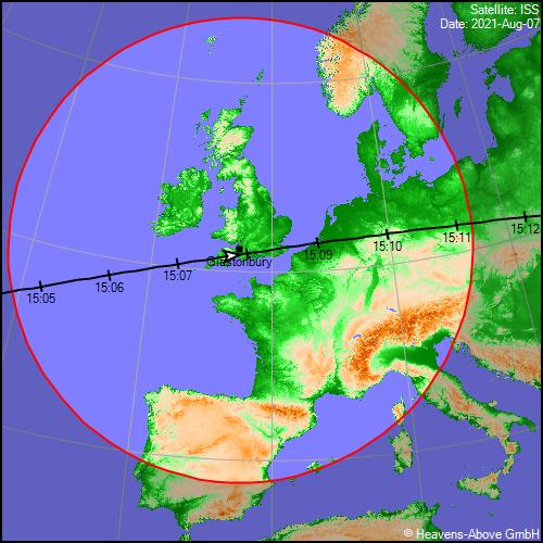
The earlier pass at 12:21UTC reached a highest altitude of 33°
which is an awkward sort of altitude, a bit high for the collinear. The interference was a local Wifi router that I had forgotten to switch off. This QRM isn’t the 2.4GHz wifi signal, it is hash from the router electronics.
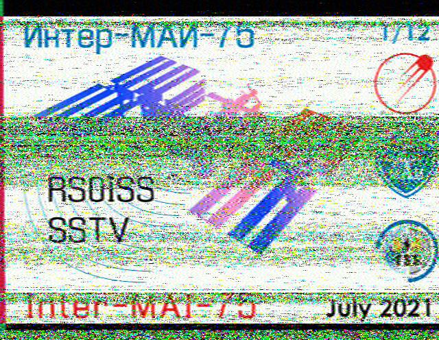
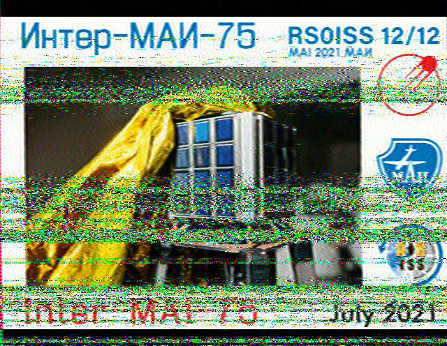
Tony M0JII was a lot more organised and got many of the other images


ARISS-SSTV Schedules and background
Heavens Above Track the ISS among other things. Glastonbury is about 51.1563°N, 2.7136°W Note: Untick the box saying visible only. You aren’t bothered about seeing the ISS, which demands you are in darkness and the Sun and ISS are at a specific angle. You can hear it fine in broad daylight.
-
AMSAT-ON have a handy Google calendar with ISS activity. ↩